


Content Copyright David Harrison © 2016
All rights reserved.


 Forecast
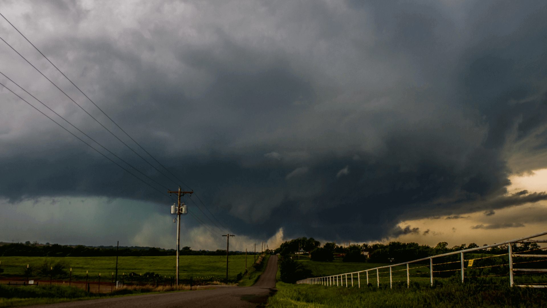
Storm Center
Safety & Training
Weather
Facebook
Twitter
Forecast
Storm Center
Safety & Training
Weather
Facebook
Twitter
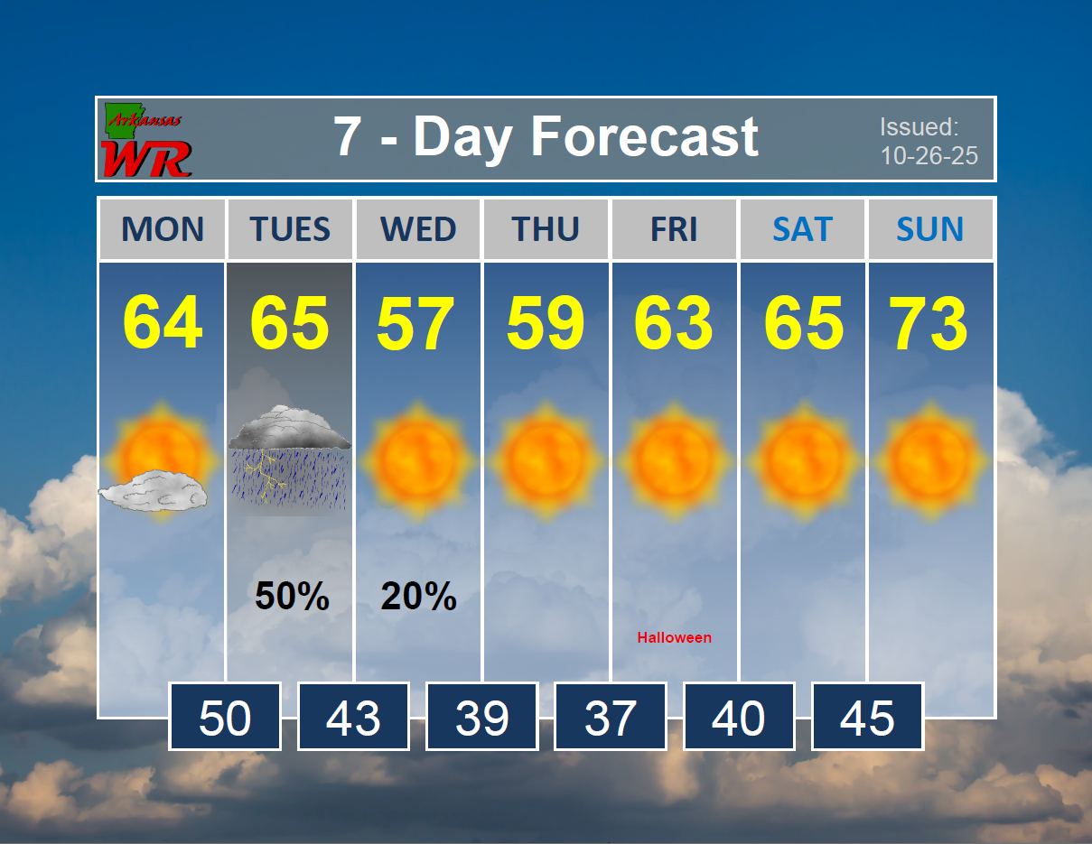
Weekly Forecast
The staple product of Arkansas Weather Report has long been a 7-

Forecast Discussion
Last Updated 07-
We will see slightly cooler conditions this week with afternoon highs in the upper 80s and low 90s through most of the workweek. A few scattered showers and thunderstorms may be possible on Monday and Tuesday, but the better rain chances will arrive on Wednesday as a weak storm system moves across the region. Temperatures will then start to warm as we head into the weekend, with afternoon highs back in the mid 90s to close out the period.
The period will start out with broad ridging over much of the Intermountain West and High Plains, with weak northeasterly flow over Arkansas. This pattern will leave our area with very little synoptic influence for the next few days, and our weather looks to largely be driven by diurnal heating and mesoscale boundaries. As such, rain chances will be low on Monday and Tuesday, but there could be a few scattered showers and thunderstorms each day dependent on differential heating boundaries and residual outflow boundaries from previous convection. The absence of any strong pressure systems or upper-level influences will help lower temperatures a bit as well, with afternoon highs in the upper 80s or low 90s through much of the workweek.
By Wednesday, the ridging to our west is forecast to rotate into the northern Plains and Great Lakes region as an inverted trough forms over the southern Plains and Gulf. This somewhat rare pattern will allow for more widespread showers and thunderstorms to develop across Arkansas on Wednesday and Thursday, and a few of these storms could produce gusty winds and maybe some small hail. Background flow will be very weak, and storm motions will be slow from east to west. As such, locally heavy rainfall and flash flooding may be possible where the strongest storms develop. High pressure is expected to rebuild over the region as we head into the weekend, and temperatures will quickly warm back into the mid 90s to close out the period.
Acknowledgments: This forecast was produced using surface and upper-air observations, radar and satellite observations, and numerical weather prediction models provided by the National Oceanic and Atmospheric Administration and the National Weather Service.